Super Women by Laurie Lawlor
Author:Laurie Lawlor
Language: eng
Format: epub
Publisher: Holiday House
Published: 2017-10-15T00:00:00+00:00
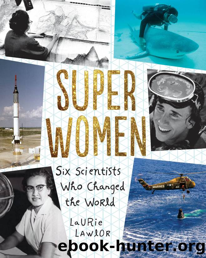
This bathymetric map from 1957 created by Marie Tharp and Bruce Heezen utilized maps, drawings, earth science data, and precision depth recordings gathered on research cruises.
Lamont, however, did not remain a happy home. The evidence from Marieâs maps of the ocean floor set off a firefight from the top. Each member of the department began to take sides. Continental drift was taboo since their boss, Dr. Ewing, was a ânon-drifter.â This period of their life Marie later called âthe harassment.â Bruce and Marieâs working lives became increasingly difficult. Because of the heretical views that their work now showed, Dr. Ewing cut off their funding. He did what he could to thwart the map project, eventually forbidding Bruce from sailing on Lamont research vessels. They were not allowed to see collected data, but graduate students slipped them what they needed secretly.
Before Marie and Bruce were officially fired in 1968, she continued doggedly working on map projects at her Nyack, New York, home. These included freelance work she was doing for the U.S. Navyâs National Ocean Survey, a four-year project that gave her a badly needed regular paycheck. Fortunately, there was other work as well. An earlier connection existed between National Geographic, staff at Lamont, and Dr. Ewing, who had written several articles for the popular magazine. Marie and Bruce were hired as freelance consultants by National Geographic.
In October 1967, National Geographic published a magnificent supplemental ocean floor map of the Indian Ocean, a physiographic diagram created by Marie and Bruce and painted in full color by Austrian landscape painter Heinrich Berann. Berann teamed up with them again to create the amazing âAtlantic Ocean Panorama,â the ocean floor depiction created by Marie and Bruce. Marie traveled back and forth to Austria to work with Heinrich Berann and his assistant. As Marie liked to say, âNational Geographic made us famous.â Their last project for National Geographic concerned the area around Antarctica. It was published in 1975 in the National Geographic Societyâs Atlas of the World.
Meanwhile, Marie and Bruce had already begun a kind of masterpiece together: the World Ocean Floor map, published as the first comprehensive look at the ocean floors around the globe. The breathtaking painting, based on Marieâs pen drawings of valleys and rifts, was also completed by Heinrich Berann. The map was painted on a six-and-a-half-foot-wide by four-feet-tall canvas. It shows a continuous, 40,000-mile-long seam running across the worldâs surface. This splendid global ocean map was funded by the U.S. Office of Naval Research.
Download
This site does not store any files on its server. We only index and link to content provided by other sites. Please contact the content providers to delete copyright contents if any and email us, we'll remove relevant links or contents immediately.
Pale Blue Dot by Carl Sagan(5156)
I'm Still Scared by Tomie dePaola(4465)
Bloody Times by James L. Swanson(4456)
Pocahontas by Joseph Bruchac(4351)
Seriously... I'm Kidding by Ellen DeGeneres(3726)
Little Author in the Big Woods by Yona Zeldis McDonough(3580)
The Science Book (Big Ideas Simply Explained) by DK(3355)
Hello, America by Livia Bitton-Jackson(3251)
The President Has Been Shot!": The Assassination of John F. Kennedy by Swanson James L(3166)
Earthrise by Edgar Mitchell(3095)
The Extraordinary Suzy Wright by Teri Kanefield(2778)
Ben Franklin's Almanac by Candace Fleming(2631)
Brown Girl Dreaming by Jacqueline Woodson(2352)
Cleopatra: A Life by Stacy Schiff(2337)
Birds, Beasts and Relatives by Gerald Durrell(2286)
The Audition by Maddie Ziegler(2260)
I Will Always Write Back by Martin Ganda(2241)
Bloody Times: The Funeral of Abraham Lincoln and the Manhunt for Jefferson Davis by James L. Swanson(2194)
The Complete Adventures of Curious George by H. A. Rey(2109)
